MAPS
How Do I Get Here From There?
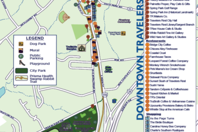
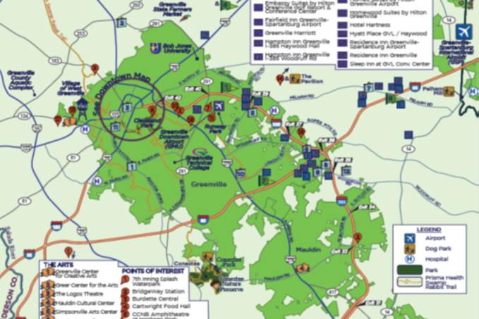
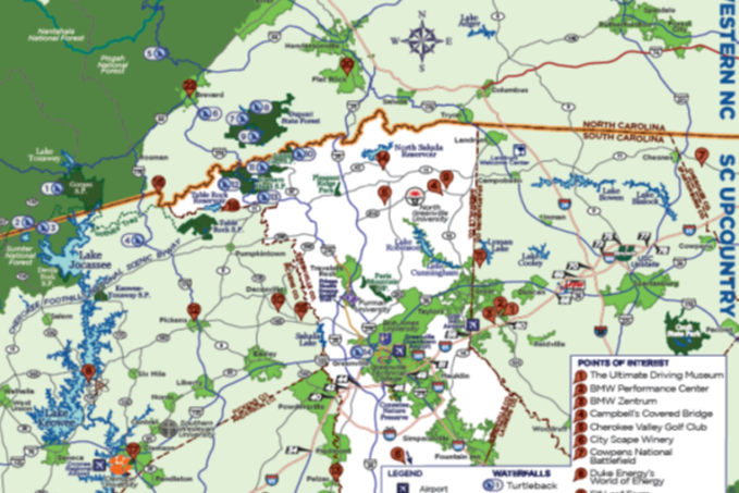
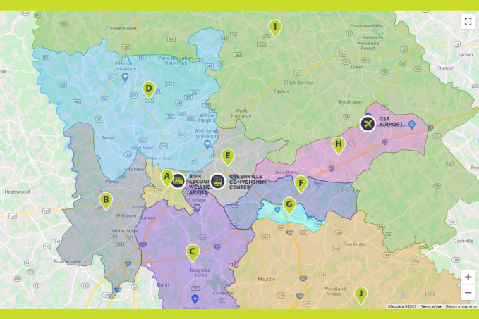
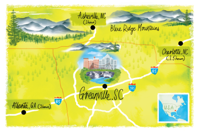
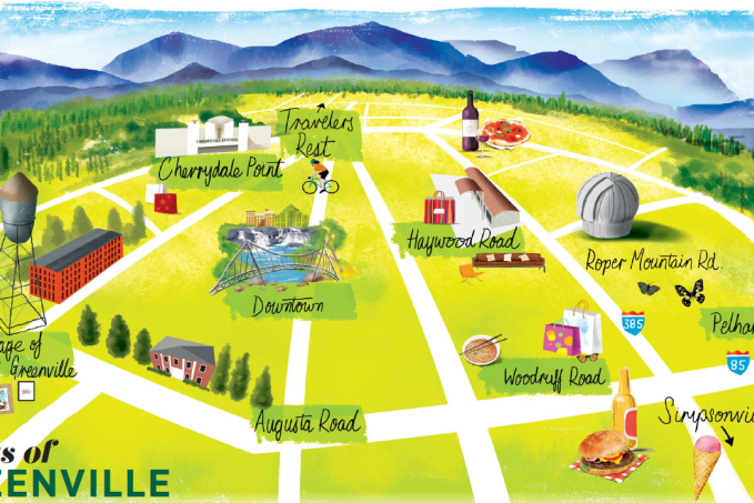
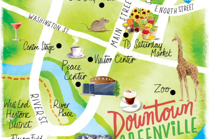
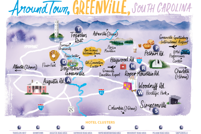
Greenville may not be the largest place on earth, but you're definitely going to want a map or two if you plan on finding your own way around, identifying points of interest, and seeing all the sights you'll want to see while you're here. We've created some terrific resources to help you stay on track during your visit.
View and download the following PDF files by clicking on the map titles below. Maps are created and copyrighted by VisitGreenvilleSC in conjunction with Upstate Mapping & Water Services (cartographic), Scott Jessop Art (illustrated), and Vector Geoanalytics (interactive). Maps may vary slightly by color and points of interest.
*Illustrated maps should not be taken literally. They are for general reference only.
Cartographic Maps
Interactive Maps
Illustrated Maps
Downtown Trolley Route Maps
For more information on trolley operating hours, service periods, rules, and how to find out where the trolley is in real-time, visit the Downtown Trolley page.
South Carolina State Trail Maps
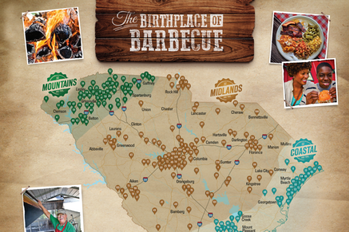
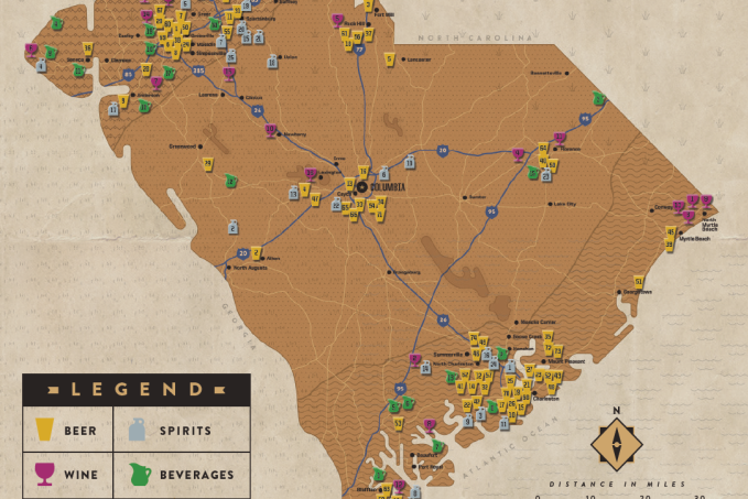
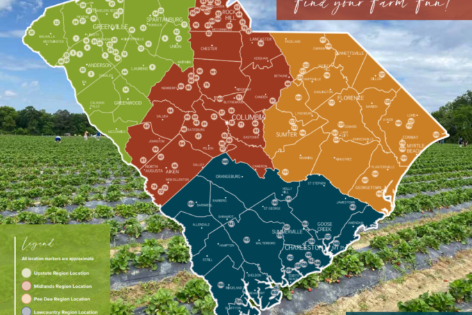
The following maps are produced by the South Carolina Department of Parks, Recreation & Tourism. The state is divided into various regions (Greenville being the Upstate or Mountains regions) and the map identifies many, though not all, of the best barbecue restaurants, breweries, distilleries, wineries, or farms (depending on which map you look at.)
Agritourism Passport booklets can be picked up at any of the participating farms. When you visit the farms, collect stamps in your passport and win South Carolina items!


